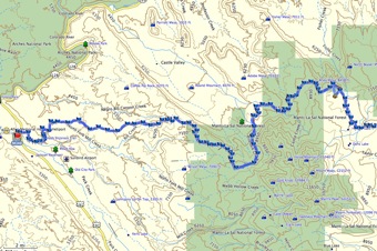
Day 7 La Sal Hut to Moab
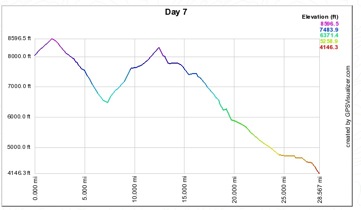 elevation profile
topo map
38.4 miles
2,000' ascent
6,200' descent
8,200' to 4,000'
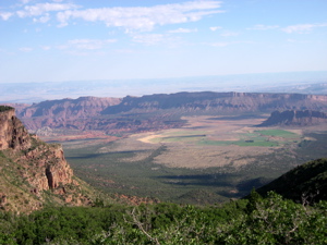
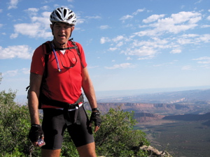
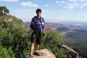
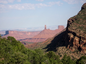
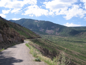
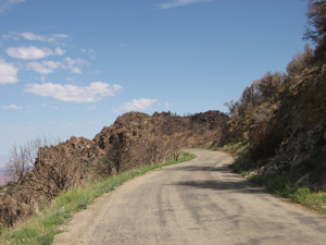
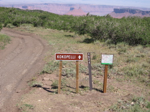
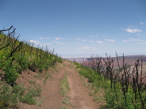
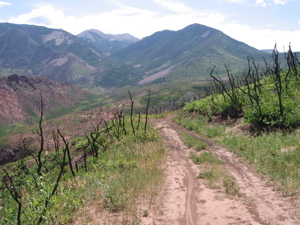
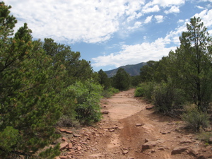
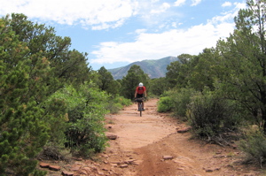
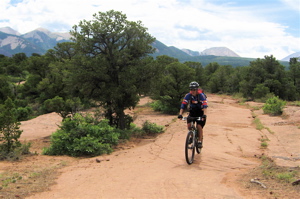
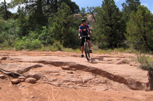
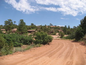
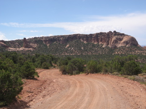
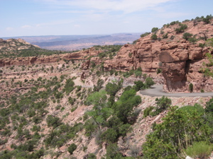
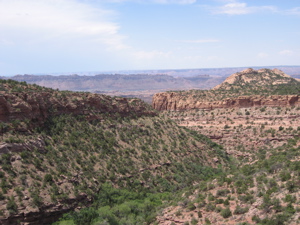
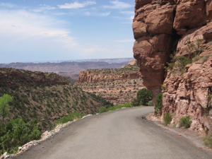
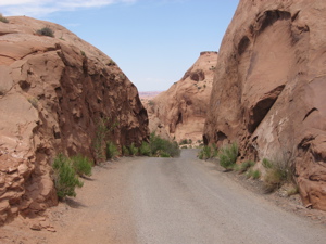
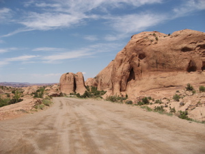
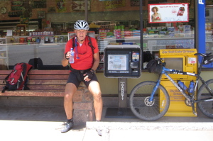
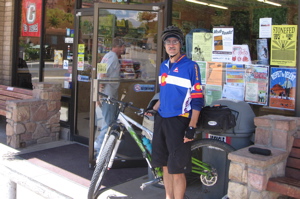
We only had 2 short uphill climbs and LOTS of downhill to Moab on our last riding day. The views to the north were down into the Castlewood Valley. Very spectacular. Once we climbed the last hill, the slickrock country of the Moab area was visible. We then had a fun 6,000' drop into Moab following parts of the Kokopelli single track Trail. The last 10 miles dropped along a shelf road through the slickrock dome areas. All beautiful but approaching 100 degrees. By the time we finally hit Moab all we could think about were ice cold drinks.
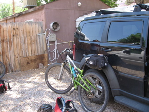
The shuttle works as advertised and the car is waiting for us exactly where they said it would be. It did not take long to get everything loaded and hit the road.
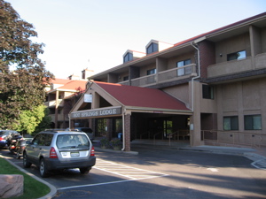
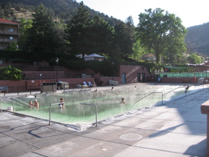
We drove along the Colorado River to get to I-70 and finally crossed back into Colorado and eventually stayed in Glenwood Springs. We unpacked, enjoyed soaking in the hot springs and spent our finally night on the road listening to a local band play.
-----------
I am ready to try the other San Juan Hut tour next year from Durango to Moab. Anyone interested in joining me next summer??